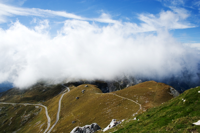
mangart, at 2679 meters is the 4th highest peak in slovenia – and our first attempt at some serious hiking with our friends sara & gandalf. mangart has the highest road in slovenia, just over 2000 meters, so you get to drive almost to the top, and hike the rest of the way. we didn’t hike it all the way to the top though, but instead took it easy and enjoyed every minute of it… until the wind became too strong and cold and we had to come back in a run. can you believe there was still a patch of snow up there!?
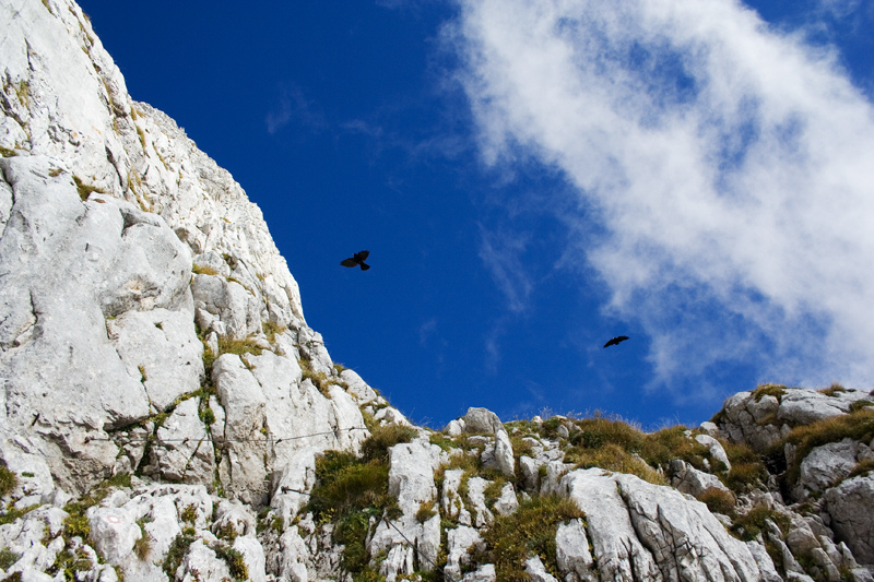
i’ll let the pictures do the talking, because words don’t do justice to this place. meet mangart:
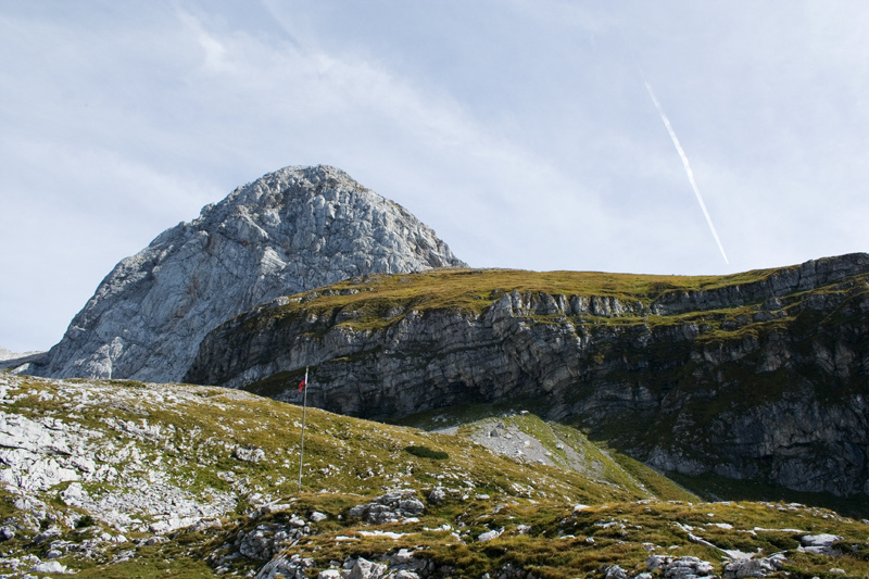
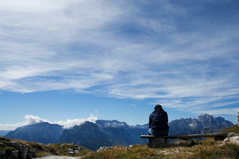
from up there, you can pretty much see the whole world:
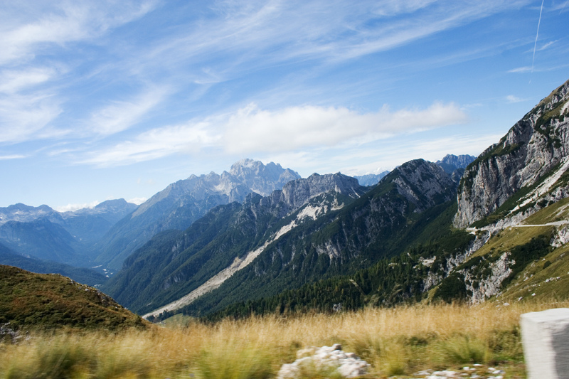
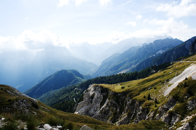
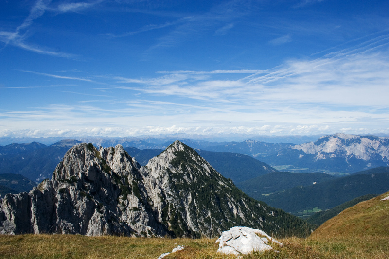
or at least a good portion of slovenia, italy and austria. you can sit and relax while below you the world goes on and fluffly little clouds pass by, floating over the top of the mountain to the other side. it’s really precious – and probably our new favourite place. :)
we’ll definitely go back again – preferably on time to see the autumn foliage, which i am currently obsessing over! if it wasn’t for all the rain currently falling on slovenia… the country has been hit with heavy floods in the last few days. we’re safe & sound, but worried with the local tv reports showing serious damage in places we’ve recently been to. they say the worst is yet to come, so we’re crossing our fingers and staying indoors for now. stay safe.
Tag: hiking
tromeja = 3 borders
yesterday we joined the ics club on a hike to tromeja, which is a special hill on top of which the borders of slovenia, austria and italy meet. it was in this hill that in may 2004, officers from the 3 countries shook hands to welcome slovenia into the european union.
sunday was the perfect day for hiking, with blue skies and gentle breeze – a day just begging to be spent outdoors, enjoying the sunshine and fresh air. the hike started in rateče, which is a small lovely town in itself. we’d been in the area a few times to see the ski jumping competitions, but never thought of turning right instead of left! the town is so picturesque, it’s almost postcard perfect. like my dad would say, “sometimes i feel like i’m inside ‘the sound of music'”. :)
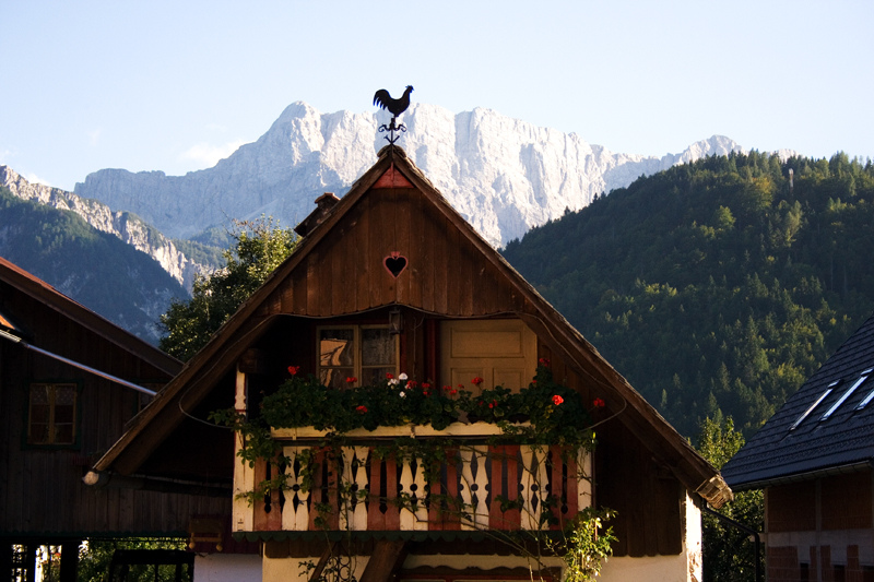
there are two ways to the top of tromeja: quick & steep, or slow & easy. we picked the latter for the ascent, and took our time in the two-hour climb, stopping now and then to enjoy the view of the meadows and the alps.
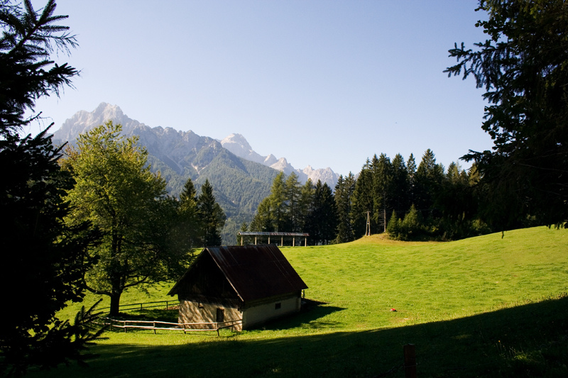
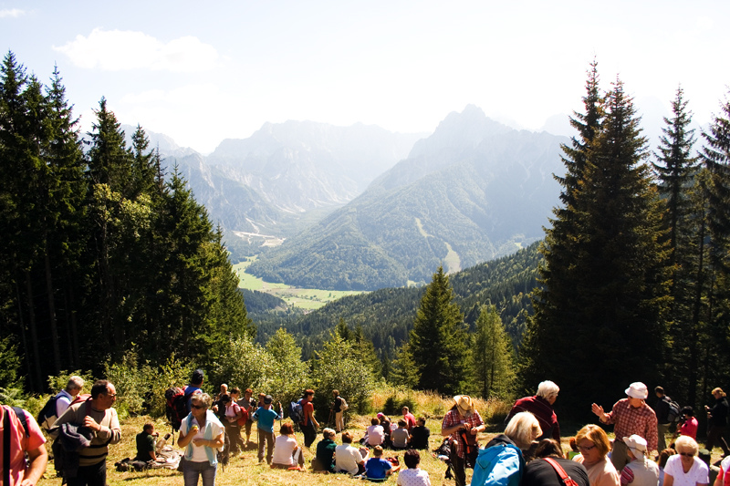
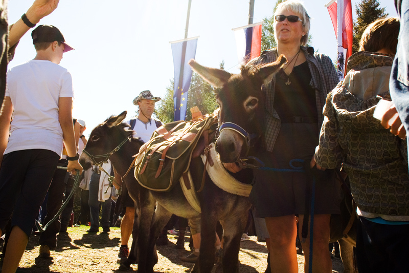
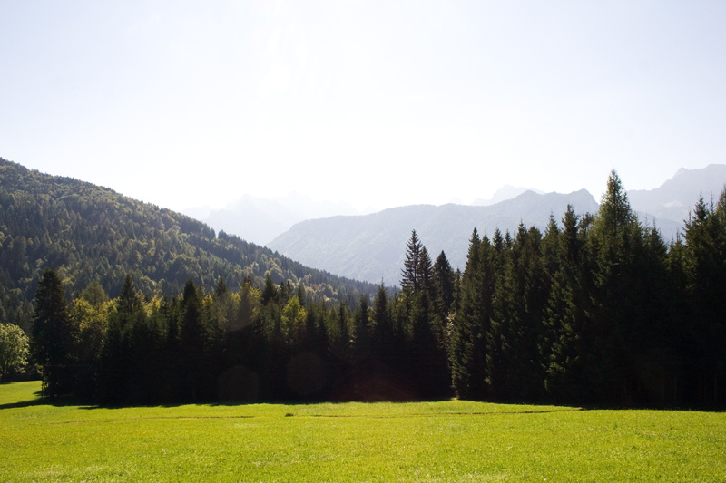 the summit was crowded with people, since it was the day to celebrate the friendship between the three countries. the views were breathtaking and stretched as far as villach and klagenfurt on the austrian side, and planica valley on the slovenian side. there was live music, people in costumes, donkeys (!) and plenty of local delicacies from all the countries.
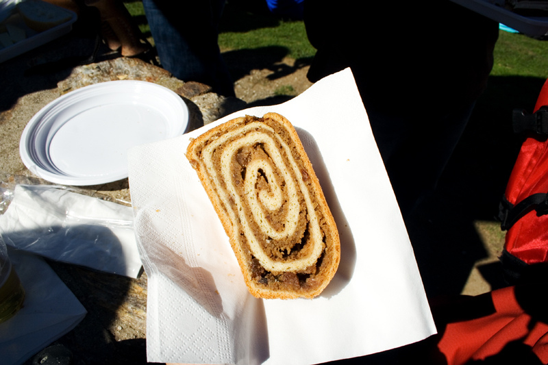
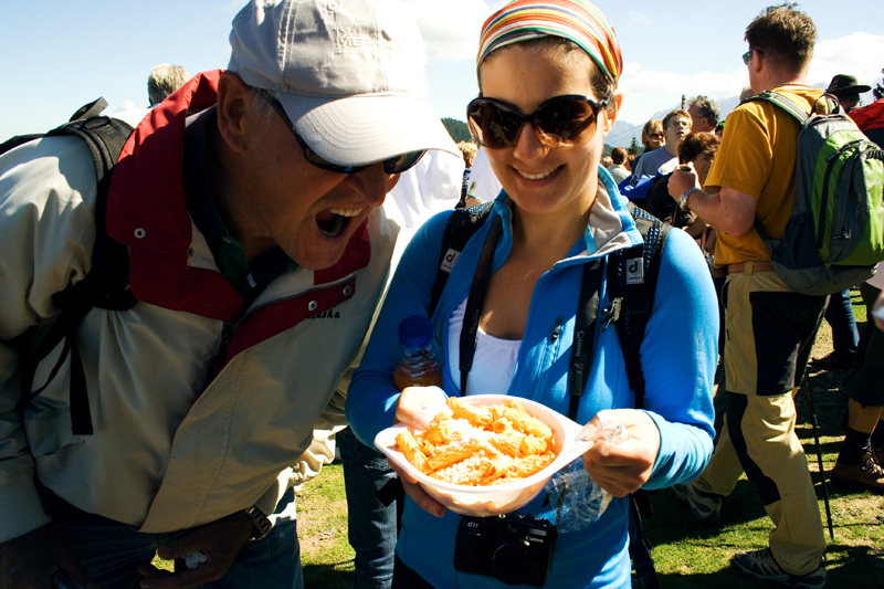
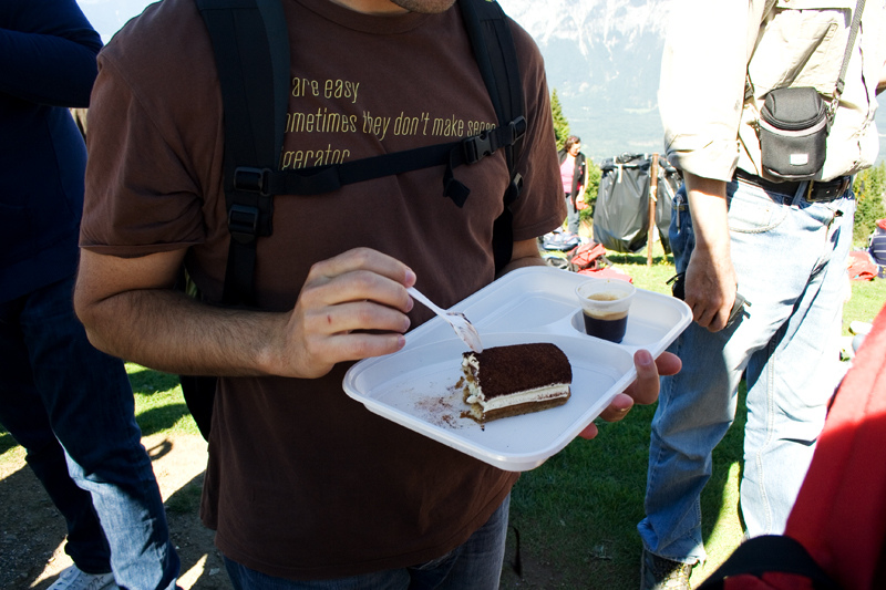
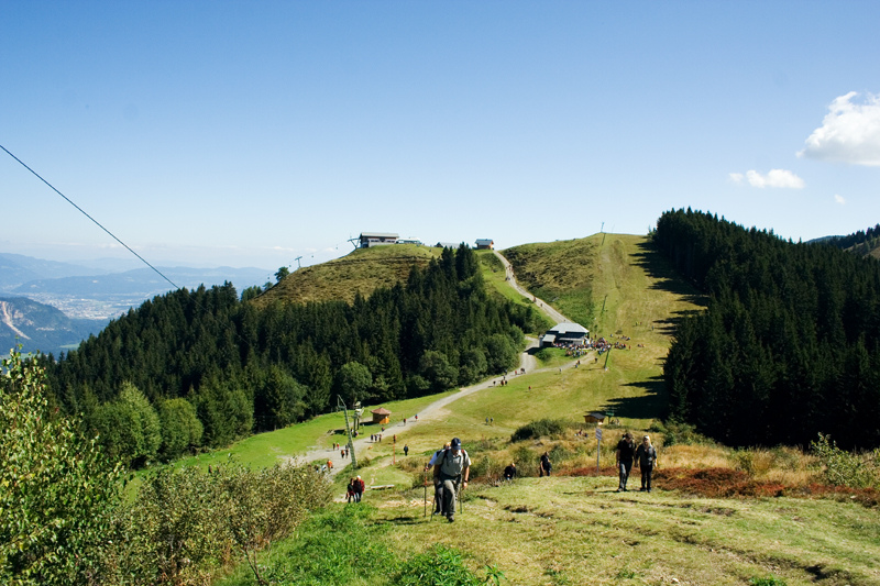
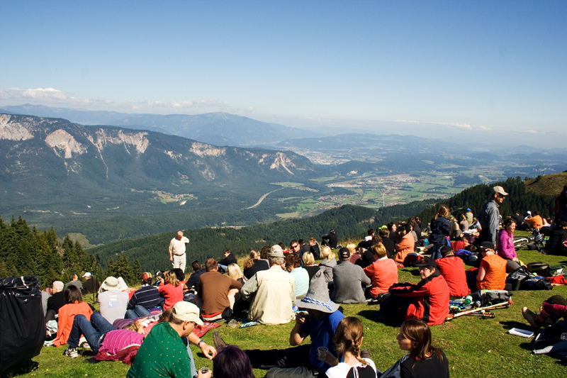
on the way down, we took the steeper slope, and shaved off a bit of time… though not so much, as we stopped frequently for pictures and stretched on the grass at the lower hut to recharge energies…
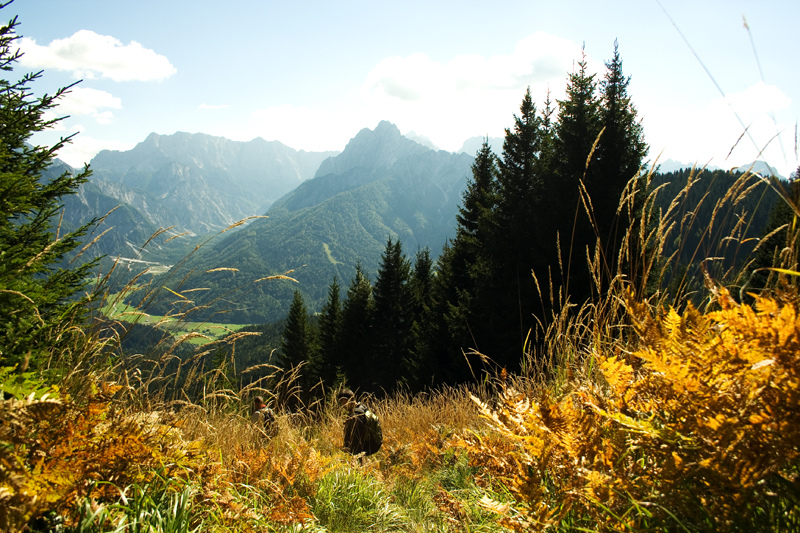
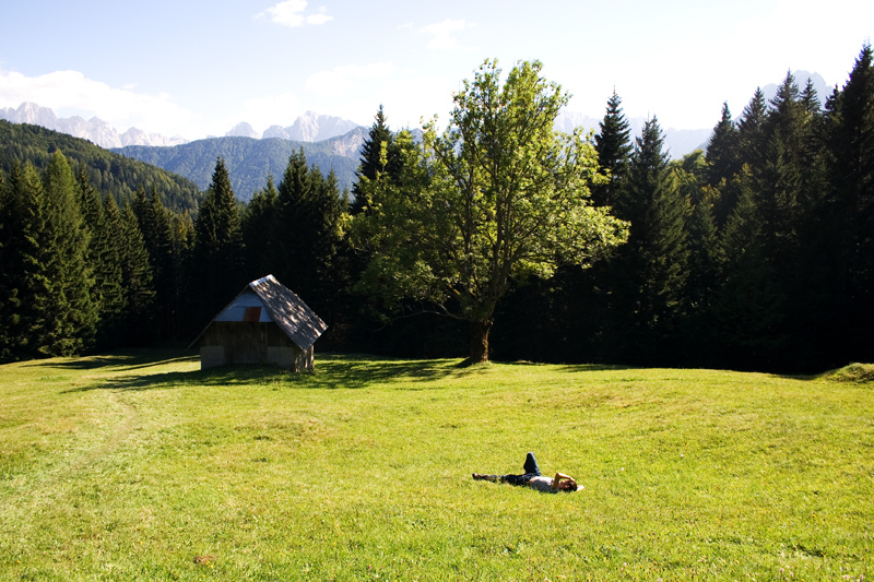 all in all, pretty much a perfect day :)
uphill
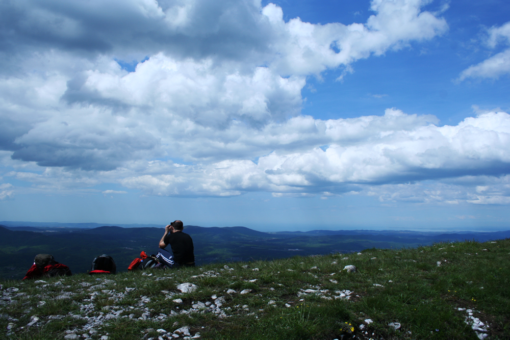
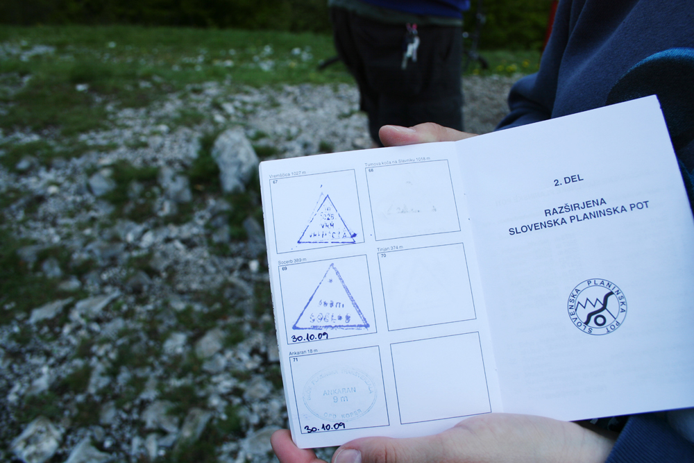
hiking is the perfect sport for slovenia. with so many mountains and hills, it’s a pleasure to get on your feet and explore them. trails are clearly marked and well maintained – but the main one, the slovenian mountain path, takes the cake. it crosses the whole country, from maribor in the east to ankaran in the coast, passing though all mountain ranges. plus, on all the mountain tops, there are stamps that you can collect in a special hiking passport!
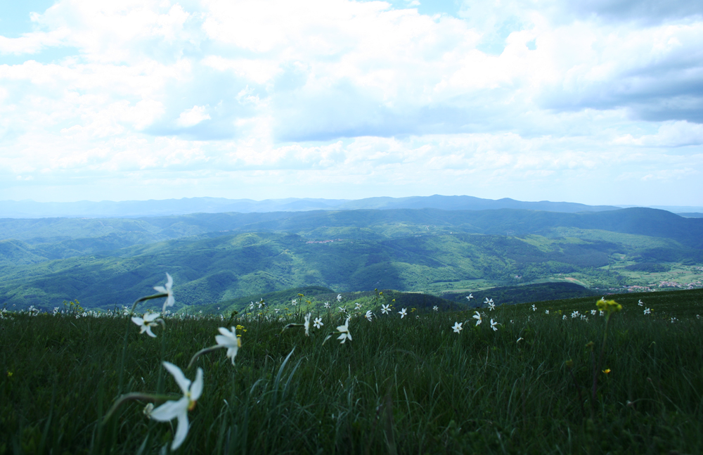
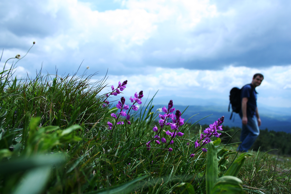
so, all you need is to get a few friends, some comfy shoes and a gps, and walk walk walk until you get to the top of a hill. then sit, enjoy the view, have a little picnic, take photos, and collect the stamp! :)
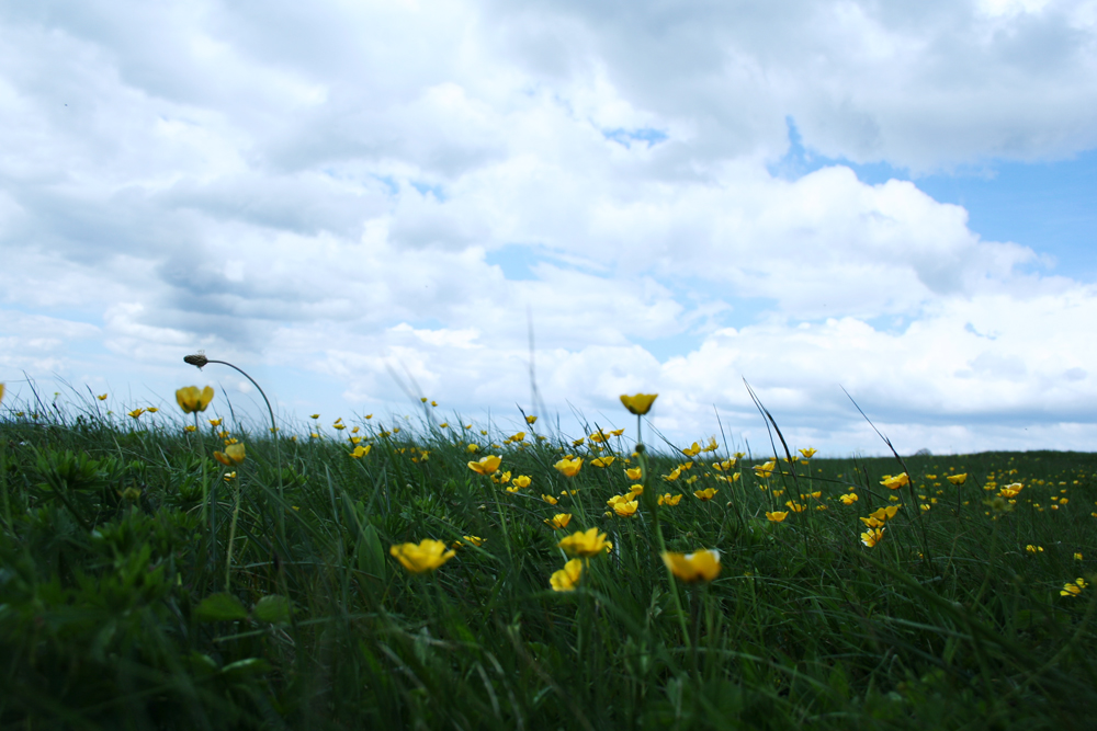
very important: when you get home, don’t forget to check yourself for ticks…
